
![]()
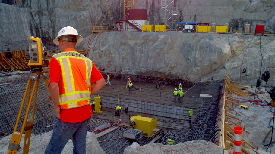
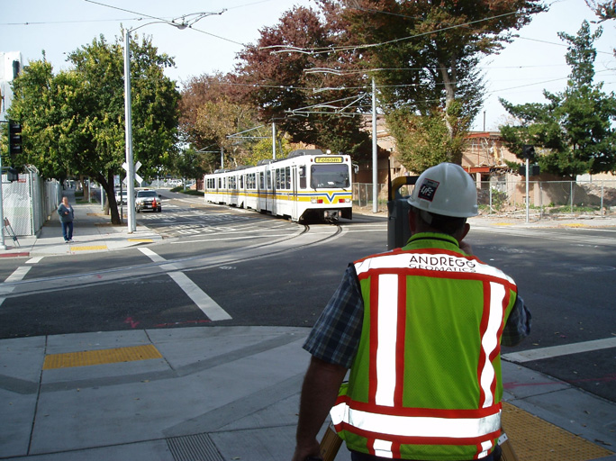
Founded in 1946, Andregg Geomatics is a management owned, State Certified Small Business with extensive experience providing professional land surveying, mapping and land planning services to land owners, public agencies, utility companies, resorts, water agencies, developers and land trusts.

Andregg uses high technology field systems including Airborne and Terrestrial LiDAR, Precise Global Positioning, GPS integrated Hydrographic Echo sounders, Robotic Total Stations and Precise Digital Leveling Systems along with sophisticated office processing and mapping CAD systems combined with large format printers and scanners. Andregg provides digital mapping, photography, planning and surface based data along with property staking, topographic mapping, subdivisions and parcel maps, legal descriptions, land planning, tentative mapping and processing, hydrographic surveys, design surveys and construction staking.
The firm is headquartered in Auburn, CA with offices in Truckee, CA, and Oakland, CA. Project offices are located in Sacramento and Los Angeles.
Corporate Location
11661 Blocker Drive, Suite 200, Auburn, CA 95603
Phone 530.885.7072 · Fax 530.885.5798
Truckee
10825 Pioneer Trail, Suite 101, Truckee, CA 96161
Phone 530.550.2255 · Fax 530.550.2205
Los Angeles
8100 Westchester Parkway
Los Angeles, CA 90045
800.400.7072
Oakland
675 Hegenberger Road, Suite 241
Oakland, CA 94621
Phone 510.220.2595
CONTACT:
Dennis Meyer, CEO
11661 Blocker Drive, Suite 200
Auburn, CA 95603
T: 530-885-7072
E: dmeyer@andregg.com